The Dao people in Den Sang Commune, Bat Xat district, Lao Cai province have been managing village community forests for hundreds of years. By 2007, the state program for land allocation on the basis of aviation photos (referred to as the Land Allocation Program 102) did not allocate land and forests to traditional village communities, but divided community forests to allocate to individuals or groups of two to four households, who then received land titles or "red books". The matter will not be widely known until the implementation of payment for forest environmental services under Decree 99/2009/ND-CP. People in the commune of Den Sang disagreed with the payment of forest environmental services, which was merely provided to households holding ‘red books’. They argued that, as the whole village protected the forest, so it was irrational to pay for only the ‘red book’ holders. They also recognized that, the grant of red book has resulted in the loss of community management of traditional collective forestland.
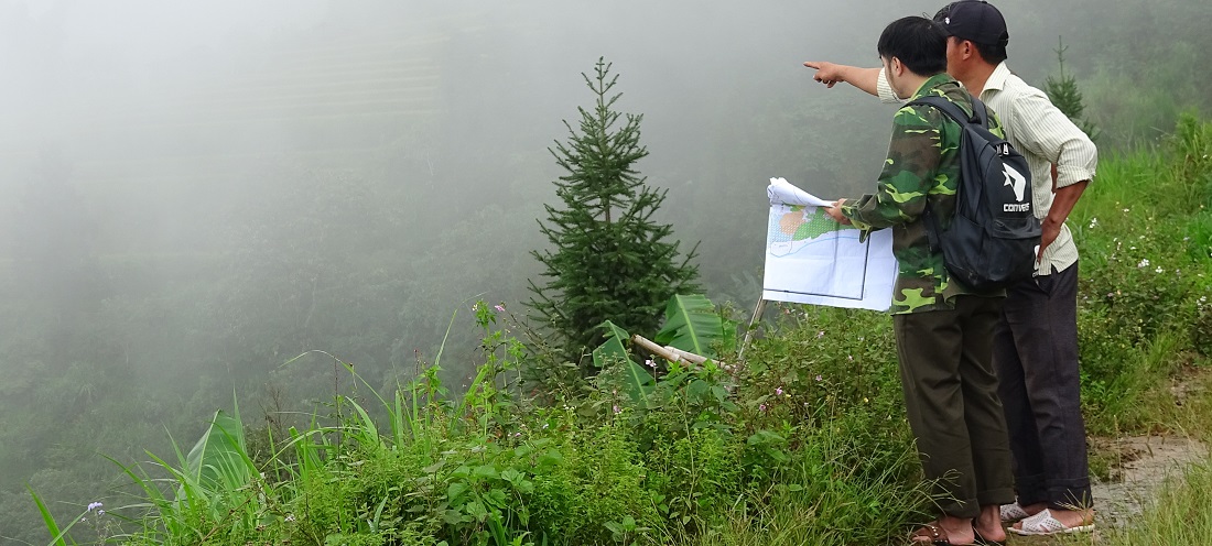
.jpg) Surveying and identifying community land boundaries in Dền Sáng commune
Surveying and identifying community land boundaries in Dền Sáng commune
Facing these shortcomings, the People's Committee of Bat Xat district has sent an official letter in 2016 requesting CIRUM to provide consultancy and support to solve the problem. After approaching the community to understand the real situation, CIRUM directorates and the People's Committee of Bat Xat district have agreed to implement the community forestland allocation (FLA) in the five villages in Den Sang commune. Although the FLA working group initially planned to meet some representatives of the villages for collecting information on forest land, over 80% of the households in the villages came to attend the meeting with the team wishing to resolve problems soon. During the consultancy process, CIRUM staff realized that the problem was not simply the distribution of benefits from forest environment services but the need of the community to confirm traditional collective land and forest use rights.
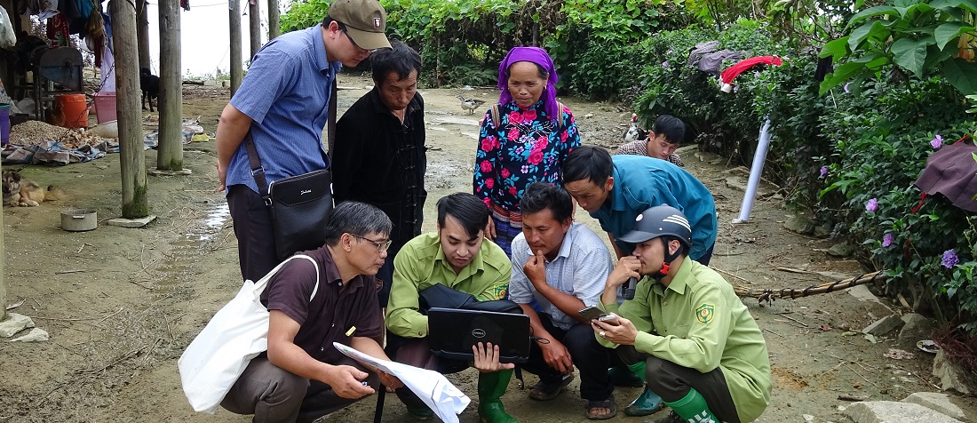
 Representatives of the two villages shook hand on the agreement of boundary identification
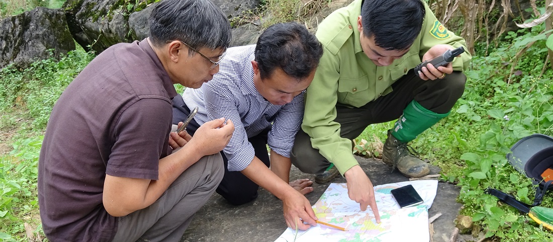
During the land survey, measurement and identification of forest situation in the field at Den Sang Commune in May 2017, obstacles and overlaps between forest land of households, individuals and that of village communities have been discovered and settled. Some households violated community conventions while planting Vau (bamboo) and trees outside the limit of 50m from their house and encroaching on community land. In addition, some families in Ngai Tro village crossed the border to use the land of Den Sang village. Although the violated household was fined one pig of hundred kilos and had to remove the fences, they did still make it difficult while arguing with Den Sang representatives during the land survey and measurement. The FLA taskforce advised the villages themselves to organize the meeting and invited village elders, who know the boundaries clearly to speak out about the needs and significance of collective forest protection. As a result, villages and households sharing boundaries worked together to discuss and came up with an agreement on the way to identify boundaries in the spirit of harmonious benefits between the involved parties. Some households are allowed to collect bamboo this year on the overlapping area, and they have to return the land and trees to the community in the next year. Once the boundaries have been determined, the parties agreed to mark the paint, confirmed the GPS signals, and took pictures of each specific landmark. For the families of officials, the working group facilitated the villagers to solve conflict by themselves in the spirit of equality and with the motto: "everyone should be equally treated, disregarding the status of those who are officials elsewhere."
Thus, lessons learned from Den Sang commune could be seen. That is the importance of study and recognition of historical background, careful listening to the village elders, the knowledgeable and prestigious people to understand tradition adjudication, application of community conventions, and encouraging active involvement of community members in solving their internal problems. Base on this approach, the FLA technicians will fulfill their role as intermediary to help to record ideas, GPS coordinates and confirm boundaries in order to solve land problems properly.
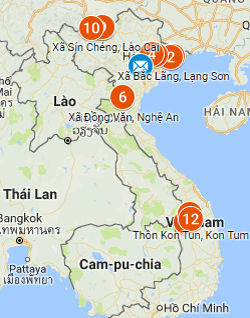
.jpg)


